HydroSHEDS v2 for the Americas
We are pleased to announce the first release of HydroSHEDS v2, now available for the Americas.
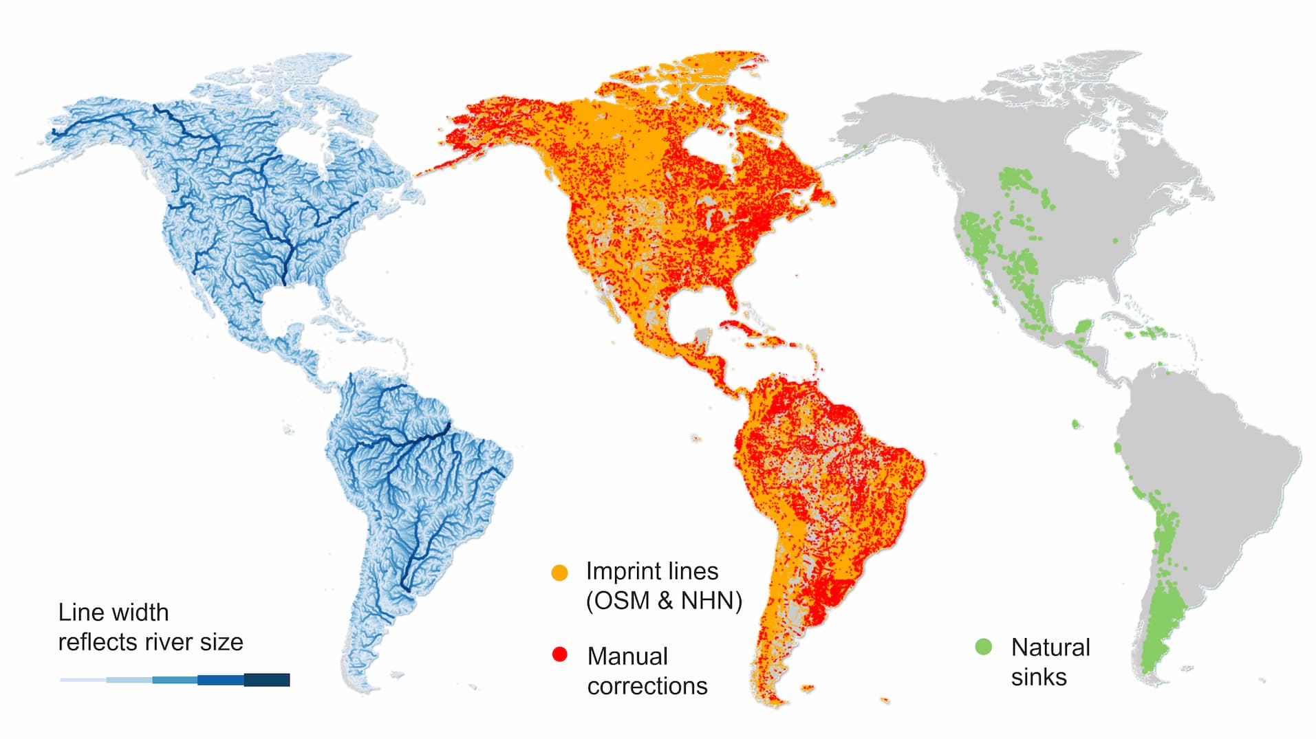
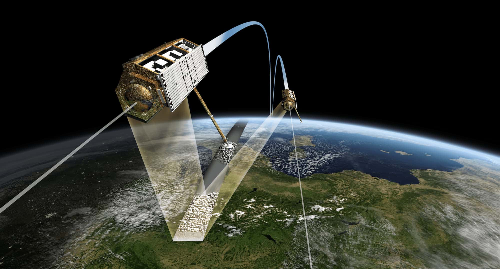
HydroSHEDS v2 is derived from TanDEM-X elevation data, which has been extensively conditioned by collaborator Confluvio to improve the accuracy and connectivity of drainage pathways. Confluvio collaborated with industry leader Esri, Redlands to develop new tools that improve the generation of flow directions and river lines.
Existing stream datasets, including OpenStreetMap and national hydrographic datasets, were used to “imprint” known flow paths into the elevation maps, a new technique developed at Confluvio to guide the flow of rivers and streams in predominantly flat terrain. Additionally, our production team identified and incorporated natural sinks into the conditioning process, helping to represent internally draining basins.
The datasets feature some impressive characteristics: across the Americas, the new vector river network contains ~21 million river reaches with a combined total length of more than 35 million km. We identified about 7,700 natural sinks, incorporated close to 40 million imprint lines, and carried out nearly 200 thousand manual corrections, all reflecting the extensive conditioning and quality-control effort behind HydroSHEDS v2. For more information on HydroSHEDS v2 visit the product page.
This release includes core raster layers in GeoTIFF format at 1 arc-second resolution, approximately 30 m at the equator. Raster data are provided as 10 × 10 degree tiles as well as continental composites. Vector data are available as both zipped Esri File Geodatabases and OGC GeoPackages (.gpkg).
Available products include flow directions, flow accumulation, river networks, and drainage basins (HydroBASINS Beta). Please visit the HydroSHEDS v2 download page to access the data.
To receive updates on future HydroSHEDS v2 releases, including additional regions and data layers, sign up for the HydroSHEDS newsletter. Questions and discussion are welcome in the HydroSHEDS forums.