
HydroSHEDS v2 is the next generation of global hydrographic data, providing a seamless, high-resolution foundation for mapping and analyzing freshwater systems worldwide.
The core HydroSHEDS v2 products are a suite of gridded and vector datasets designed for hydro-environmental model development, custom GIS applications, and large-scale freshwater analysis. These application-ready data layers provide essential hydrographic baseline information, so users can integrate them into their own models, workflows, and decision-support tools. The core data products provide limited thematic or attribute information; future releases will include attribute information distributed through HydroATLAS and HydroRIVERS products.
The core data products of HydroSHEDS v2 are provided at a resolution of 1 arc-seconds (~30 meters at the equator):
- Flow Directions (DIR): A drainage direction map derived from the conditioned elevation data
- Flow Accumulation (ACC): A flow accumulation map derived from the flow direction map, representing the number of upstream grid cells
- Flow Accumulation (ACA): A flow accumulation map derived from the flow direction map, representing true catchment areas in square kilometres
- River network (RIV): A river network derived from the flow direction map, using a minimum upstream catchment threshold of 1 square kilometers
- HydroBASINS (BAS): A beta version of drainage basins (HydroBASINS) as a companion layer for the river reaches.
The data is currently limited to the Americas. Additional regions as well as new core and auxiliary data layers will be made available in future releases.
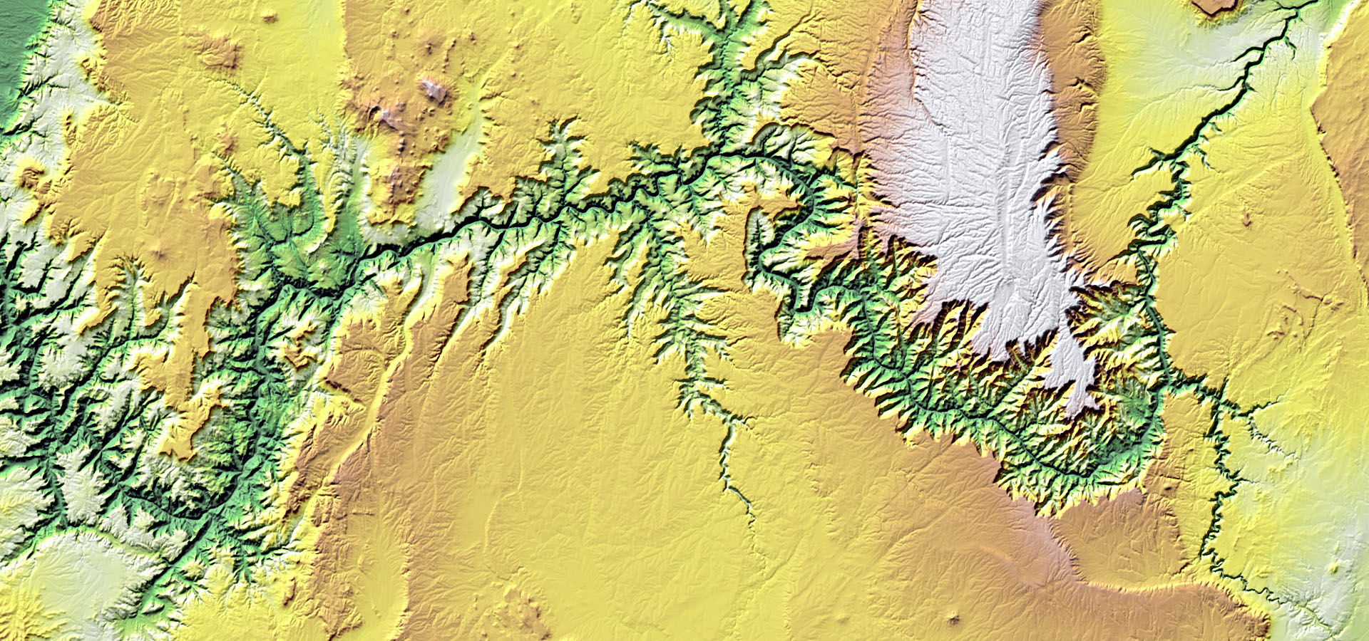
Image: Hypsometric tint with hillshade of the Grand Canyon, USA, generated from HydroSHEDS v2 elevation-derived data.
Technical Documentation
For more information on the core products of HydroSHEDS v2 please refer to the HydroSHEDS Technical Documentation.
License
The core products of HydroSHEDS v2 are freely available for scientific, educational and commercial use. The data are distributed under a CC-BY 4.0 license. For all regulations regarding license grants, copyright, redistribution restrictions, required attributions, disclaimer of warranty, indemnification, liability, and waiver of damages, please refer to the license agreement.
By downloading and using the data the user agrees to the terms and conditions of the license agreement.
References
Lehner, B., A. Roth, M. Huber, M. Anand, and M. Thieme (2022), A sharper look at the world’s rivers and catchments, Eos, 103, https://doi.org/10.1029/2022EO220167. Published on 12 April 2022.
Data download
Hello! This window is too narrow to display the downloads. Please resize the window. If you are on mobile, please visit our site on a computer.